Springer Mountain
More research for the picture book I'm illustrating, "The 12 Days of Christmas in Georgia." Did you know that Springer Mountain is the beginning of the Appalachian Trail? Well, it's in Georgia and makes for a lovely bimble.
This past weekend, we headed up to North Georgia and stopped at R&A Orchards for lunch and peaches!
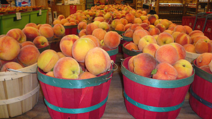
 And then we headed for the mountain. About 20 minutes in on a National Forest road and we were there! Well, sort of. We parked the car and then hiked a mile uphill. THEN we were there!
And boy was it worth the trip - it was gorgeous.
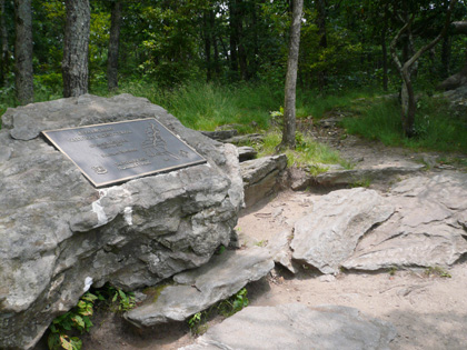
There are two plaques when you get to the official start of the AT - you can see one of them in front of Stan (the hubsmeister) embedded in the rock and the other in this second shot. There's also a mailbox of sorts built into the back of the rock to hold notebooks for geocachers and notes/postcards people want to leave for whoever is there next. Pretty cool.
We also checked out the camping set-ups nearby, and dang. It's like five-star camping up there! And if it wasn't for the bears (which have been problematic of late according to a posted sign) I'd be all over it.

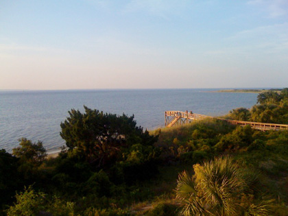
It's going to be tricky to illustrate this one. If any of you are hikers, you know that the view surrounding you most of the time is pretty limited in scope (rocks, trees, the uphill climb). Every now and then you come to an open vista like the pic above, however, it can be hard to relate that information to surrounding context. So, it will be challenging to draw. But now that I've been there, I have a much better idea of how to tackle it!
This past weekend, we headed up to North Georgia and stopped at R&A Orchards for lunch and peaches!

 And then we headed for the mountain. About 20 minutes in on a National Forest road and we were there! Well, sort of. We parked the car and then hiked a mile uphill. THEN we were there!
 And boy was it worth the trip - it was gorgeous.
There are two plaques when you get to the official start of the AT - you can see one of them in front of Stan (the hubsmeister) embedded in the rock and the other in this second shot. There's also a mailbox of sorts built into the back of the rock to hold notebooks for geocachers and notes/postcards people want to leave for whoever is there next. Pretty cool.
We also checked out the camping set-ups nearby, and dang. It's like five-star camping up there! And if it wasn't for the bears (which have been problematic of late according to a posted sign) I'd be all over it.


It's going to be tricky to illustrate this one. If any of you are hikers, you know that the view surrounding you most of the time is pretty limited in scope (rocks, trees, the uphill climb). Every now and then you come to an open vista like the pic above, however, it can be hard to relate that information to surrounding context. So, it will be challenging to draw. But now that I've been there, I have a much better idea of how to tackle it!








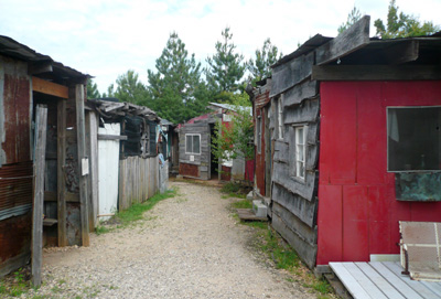
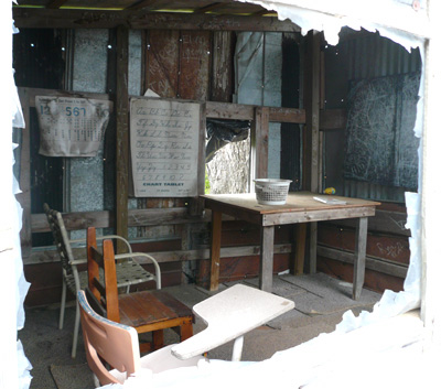
 Can you imagine the dedication it would take to try to learn in this environment? A friend of mine who works with